Sault Ste Marie sits perched on the southern edge of the Canadian Shield, where Precambrian bedrock often lies hidden beneath just a few meters of glacial till and lacustrine clay. You can drive from an outcrop of billion-year-old granite to a 30-meter-deep buried valley in under ten minutes. We see projects get into trouble here when they assume the bedrock surface is uniform; a routine drilling program might hit refusal at 4 meters in one borehole and 22 meters in another, 15 meters away. That is exactly where seismic refraction and reflection tomography prove indispensable. Instead of interpolating blindly between boreholes, we image the velocity structure of the subsurface continuously, mapping the true topography of the bedrock surface, identifying fractured zones, and flagging voids in the limestone members of the local Ordovician sequence. Combined with targeted test pits for near-surface validation, this method gives the geotechnical team a defensible ground model before a single footing is designed.
In Sault Ste Marie, bedrock depth can change 20 meters laterally—seismic tomography catches that before the excavator does.
How we work
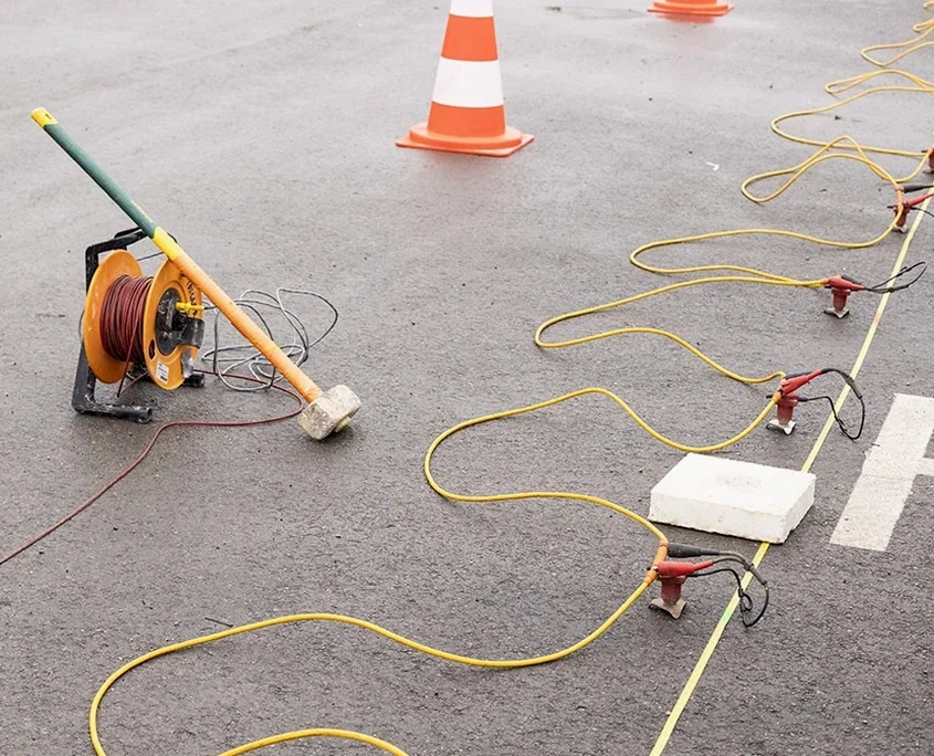
A mistake we keep correcting on sites around the Hiawatha Highlands and the Goulais River corridor is relying solely on electromagnetic conductivity surveys in clay-rich overburden. Conductive clays mask the resistivity contrast of the bedrock, producing ambiguous depth-to-rock estimates that can shift by five meters or more once excavation starts. Seismic tomography cuts through that ambiguity by measuring P-wave and S-wave velocities directly: saturated glacial till typically transmits at 1,500–2,200 m/s, competent granite at 4,500–5,500 m/s, and a water-filled void drops to near zero. We deploy 24- to 48-channel seismographs with 5-meter geophone spacing for high-resolution refraction profiles, then process the travel-time data using tomographic inversion algorithms rather than simple intercept-time methods. The result is a 2D velocity cross-section with resolution down to roughly 1 meter vertically in the upper 30 meters. When reflection profiling is required for deeper targets—say, mapping the contact between the Lorrain Formation quartzite and the underlying Gowganda Formation metasediments—we switch to a hammer-and-plate source or a weight drop, stacking multiple shots per spread to pull coherent reflectors out of the noise. All acquisition follows ASTM D5777 and D7128 protocols, with data processed in the field so we can adjust line geometry if a karst feature or steep bedrock scarp demands higher fold coverage.
Local considerations
Around the St. Marys River and the former industrial corridors near the Algoma Steel site, we often encounter a thin layer of stiff clay overlying a weathered, pinnacled bedrock surface. A drill rig can core through a limestone pinnacle and log competent rock, while the adjacent footing sits on compressible clay only a meter away. Seismic tomography catches these pinnacles and troughs because the velocity contrast between the clay and the limestone—roughly a factor of three—is impossible to miss on a well-processed refraction tomogram. Another risk that shows up repeatedly in the eastern part of town involves buried eskers: sand and gravel deposits that look like excellent bearing material but can contain ice-contact stratified drift with loose, collapse-prone lenses. We identify these by mapping the shear-wave velocity profile using MASW techniques alongside the refraction line, directly feeding into the NBCC seismic site classification. A Class C versus Class D determination alters the design spectral acceleration significantly, so getting it wrong because of hidden low-velocity zones carries structural consequences. The cost of a supplementary seismic line is trivial compared to redesigning foundations after excavation reveals conditions the boreholes missed.
Frequently asked questions
How much does a seismic tomography survey cost in Sault Ste Marie?
A typical seismic refraction or reflection survey in the Sault area runs between CA$4,130 and CA$6,340, depending on line length, number of spreads, and whether we are combining refraction with MASW for site class determination. A short refraction line (one spread, 115 meters) for a single-family lot sits at the lower end; a multi-line reflection survey with weight-drop sourcing across a commercial development reaches the upper range. We provide a fixed-price quote after reviewing your site plan and the OGS mapping for your parcel.
What is the difference between seismic refraction and reflection tomography?
Refraction tomography analyzes the first-arrival travel times of seismic waves that have been critically refracted along velocity boundaries, making it excellent for mapping a gradual velocity increase with depth—typical of soil over bedrock. Reflection tomography records the seismic energy that bounces back from acoustic impedance contrasts, which works better for imaging sharp boundaries, deep targets, and velocity inversions like a low-velocity clay layer beneath a hard crust. In practice, we often acquire both datasets simultaneously and process them separately to cross-validate the interpreted bedrock surface.
Can seismic surveys work on frozen ground during Sault Ste Marie winters?
Yes, with important caveats. Frozen ground increases the near-surface P-wave velocity significantly—sometimes above 3,000 m/s in saturated till—which can mask the true bedrock velocity contrast. We compensate by deploying geophones in pre-drilled holes below the frost line, or by scheduling the survey for late winter when the frost penetration is stable and we can model the frozen layer as a known high-velocity cap. Summer and fall generally produce cleaner data, but a winter survey with proper coupling is far better than no survey at all.
How deep can you image with seismic tomography in the Canadian Shield?
With a 115-meter refraction spread and a sledgehammer source, we typically resolve velocity structure to 25–35 meters depth in the competent rock of the Shield. Switching to an accelerated weight drop and extending the spread to 230 meters pushes the investigation depth past 50 meters for refraction. For deeper targets—karst features at 60–80 meters, or the contact between sedimentary cover and crystalline basement—we use reflection profiling, which can image to 100 meters or more depending on the acoustic impedance contrast and the source energy deployed.